1644 Route 12 - Gales Ferry
This feature is unavailable at the moment.
We apologize, but the feature you are trying to access is currently unavailable. We are aware of this issue and our team is working hard to resolve the matter.
Please check back in a few minutes. We apologize for the inconvenience.
- LoopNet Team
thank you

Your email has been sent!
1644 Route 12 - Gales Ferry
6.46 Acres of Commercial Land Offered at £783,383 in Gales Ferry, CT 06335


Property Facts
| Price | £783,383 | Property Type | Land |
| Sale Type | Investment or Owner User | Property Subtype | Commercial |
| Sale Conditions | Proposed Use | Commercial | |
| No. Lots | 1 | Total Lot Size | 6.46 AC |
| Price | £783,383 |
| Sale Type | Investment or Owner User |
| Sale Conditions | |
| No. Lots | 1 |
| Property Type | Land |
| Property Subtype | Commercial |
| Proposed Use | Commercial |
| Total Lot Size | 6.46 AC |
1 Lot Available
Lot
| Price | £783,383 | Lot Size | 6.46 AC |
| Price Per AC | £121,267 |
| Price | £783,383 |
| Price Per AC | £121,267 |
| Lot Size | 6.46 AC |
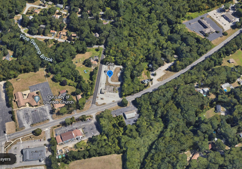
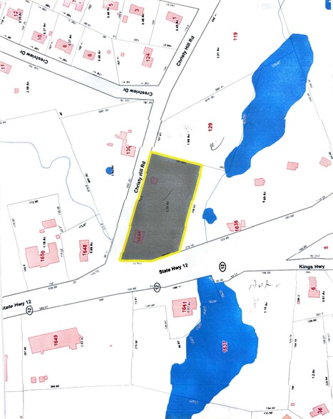
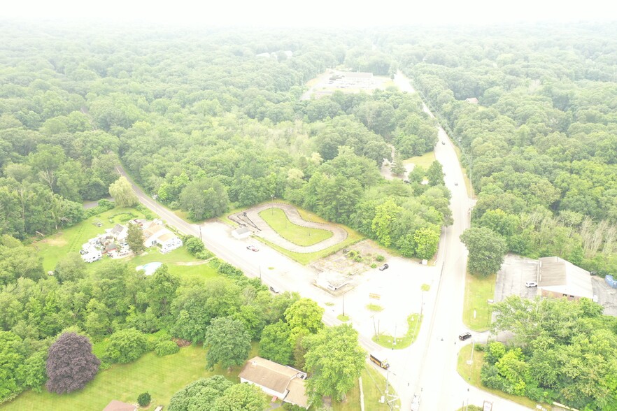
+/- 6.46 Acres Zoned GFDD Signalized Intersection on Route 12 Site of “Kartway Go-Karts” since 1963 Multiple Curb Cuts Town Center Location Prime Southeastern CT Location on Route 12 with easy access to US Submarine Base in Groton; New London & I-95
1 of 1
PROPERTY TAXES
| Parcel Number | LEDY-000091-002120-001644 | Improvements Assessment | £18,723 |
| Land Assessment | £108,140 | Total Assessment | £126,863 |
PROPERTY TAXES
Parcel Number
LEDY-000091-002120-001644
Land Assessment
£108,140
Improvements Assessment
£18,723
Total Assessment
£126,863
zoning
| Zoning Code | GFDD |
| GFDD |
1 of 7
VIDEOS
3D TOUR
PHOTOS
STREET VIEW
STREET
MAP
1 of 1
Presented by

1644 Route 12 - Gales Ferry
Already a member? Log In
Hmm, there seems to have been an error sending your message. Please try again.
Thanks! Your message was sent.


