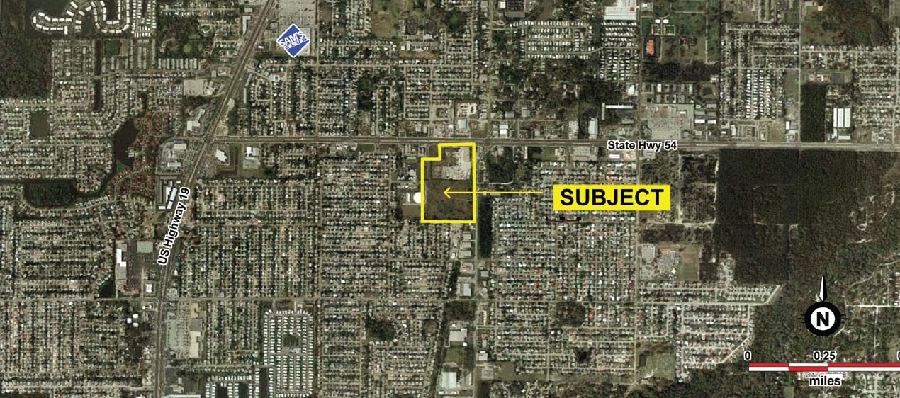
* 26.91 Acres - currently zoned C-2 - future land use ROR (Retail/Office/Residential) which allows for apartments (24 units per acre). * Located on the east-west corridor of SR 54 one mile east of Hwy 19. The population within a 5-mile radius is approximately 139,000 people.
| Parcel Number | 20-26-16-0020-01700-0000 | Improvements Assessment | £6,396 |
| Land Assessment | £1,785,696 | Total Assessment | £1,792,092 |
| Zoning Code | C2 |
 Parcel Aerial
 Building Photo
The LoopNet service and information provided therein, while believed to be accurate, are provided "as is". LoopNet disclaims any and all representations, warranties, or guarantees of any kind.